
Detour #01: Lysebotn Road, Norway

The Lysebotn Road is not very easy to get to. Well, unless you live in Lysebotn. But given that there are only two dozen houses nestled around the water’s edge of the Lyse Fjord that stretches, majestically, 26 miles along the valley floor, that rules most of us out.
So, you will have to travel to reach it - to a part of Norway that’s so far off the beaten track they only opened a road there in 1984. A yellow sign acts like a homing beacon to those who have made the pilgrimage to this part of the world: Lysebotn. This is the start of the road built to service the Tjodan power station. The start of the road that gave a lifeline to the village of Lysebotn, which previously relied on travelling by boat to reach civilisation at the end of the Lysefjord.
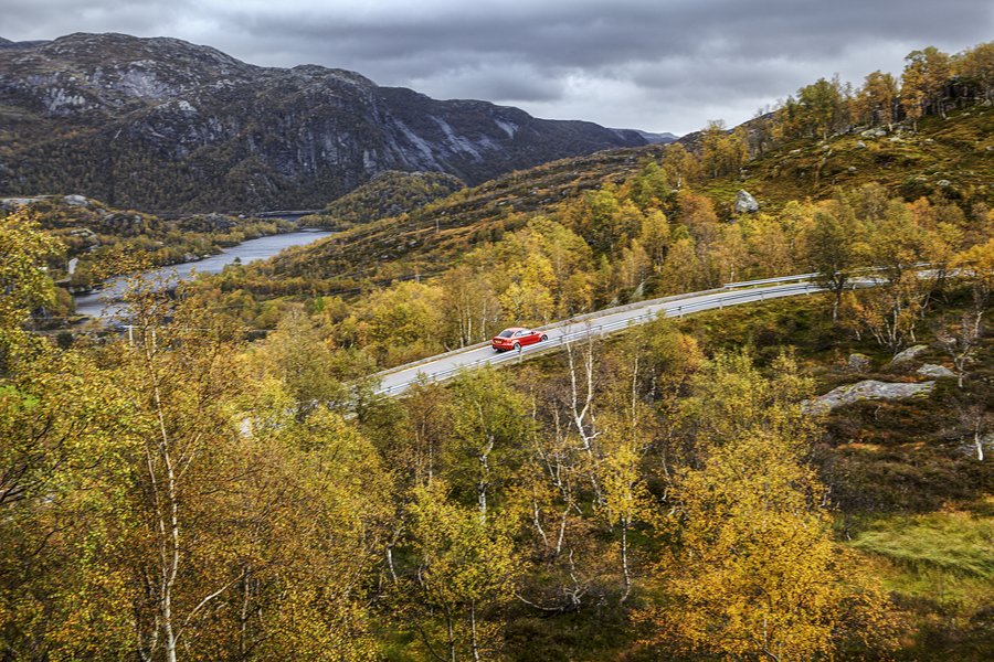
The climb to the peak starts gently, the road arcing through lush woodlands, all around you - when Detour visits - the rich contrast of evergreens and yellowing leaves, shimmering in the damp, chilled air. The rumble of a cattle grid passing under the tyres signals a change, though; the angle of ascent steepens and the landscape closes in as walls of rock tower above.
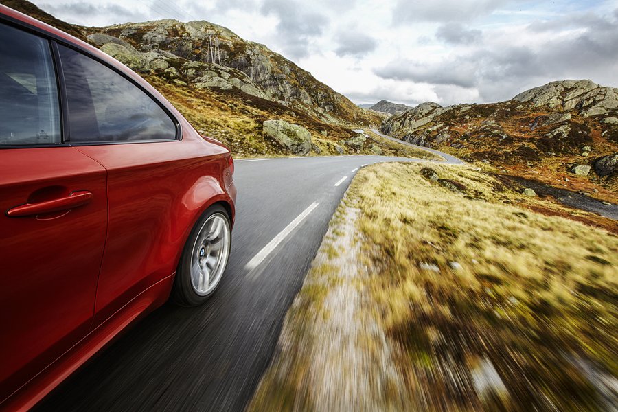
The Lysebotn Road soon starts to test driver and machine, tightening in places before rising to a series of plateaus with the road reaching out as far as the eye can see and gentle kinks littered between bursts of straight. Boulders dragged through here by an ice age long since departed lie by the side of the road, rising up out of the moss and heather with a silver sheen that makes this look like an alien landscape bubbling with mercury.
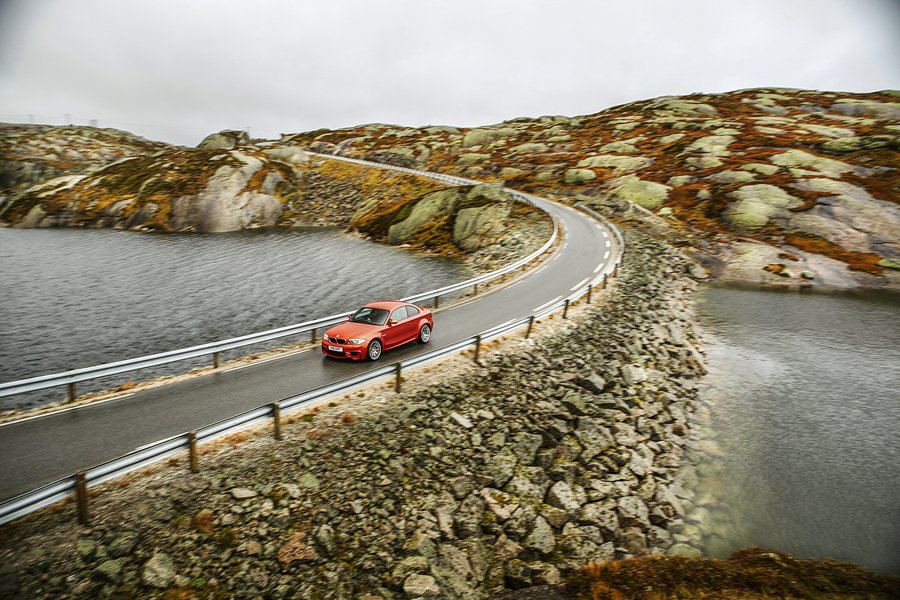
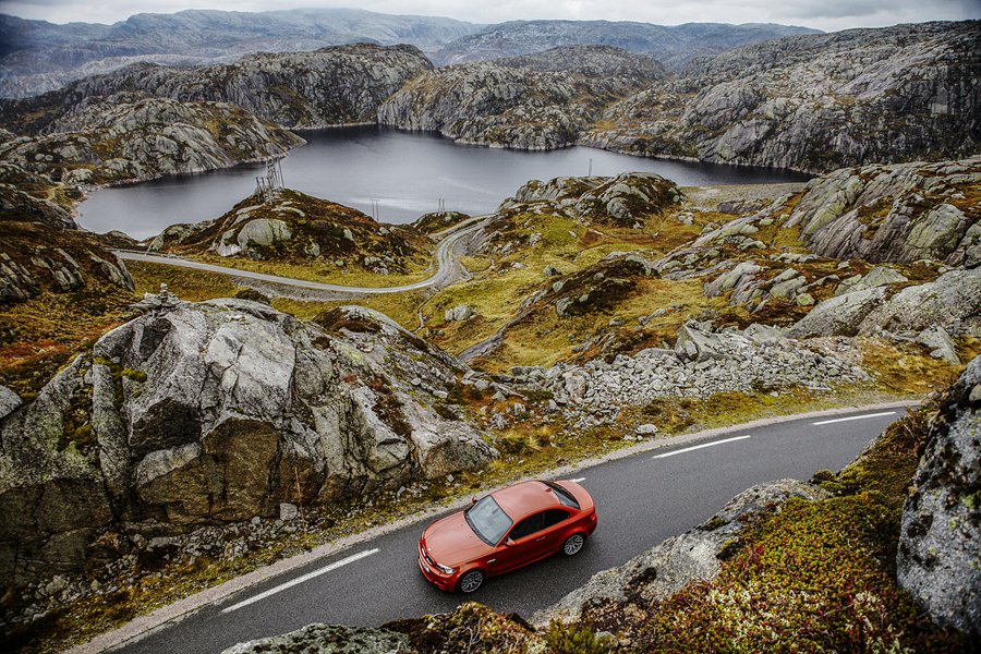
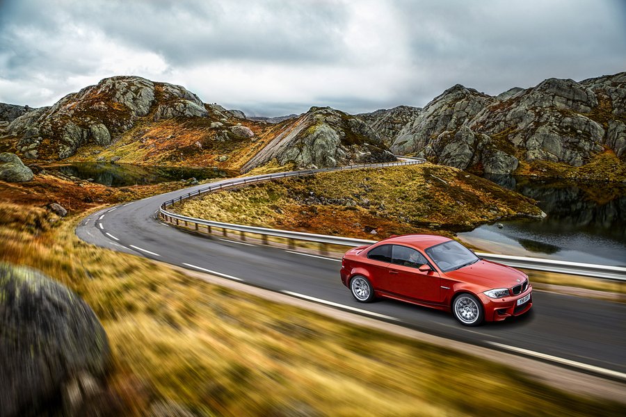
Just as you think things can't get any better, you pass the 932-metre summit, round one side of the mountain range and ahead lies a slight descent that clings to the edge of the mountain face. Small fjords sit motionless to the side, not a ripple disturbing the water's mirrored surface. Piles of stones litter the landscape, tens of thousands of them as far as the eye can see, stacked by the hands of the walkers who've visited since the road's opening in 1984.
Locals tell us there isn't much to do in this part of Norway - except throw yourself around the great outdoors. Hiking, climbing, base jumping and kayaking are the preferred options, and up here a popular hike runs out to Kjerag Plateau, a wall of granite that the more ambitious stride out to, and the more relaxed admire from below on the Lyse Fjord ferry.
A dizzying descent strewn with 27 hairpins winds its way steeply down the side of the valley. Powering away from the final hairpin, the Lysebotn Road throws its next surprise at drivers; a 3/4-mile-long tunnel drills through the foot of the mountain, twisting through 180 degrees as it goes. The engine and exhaust fill it with the ultimate surround-sound audio experience, but just as your eyes and ears adjust to this novel ride in the dark, daylight looms and you’re spat out onto the valley floor and the sleepy hamlet of Lysebotn.
Words James Mills
Photography Lee Brimble @leebrimble

Roadbook
Class: Mountain pass
Name: Lysebotn Road, FV500
Route: Lysebotn to Sirdal
Country: Norway
Distance: 16 miles
Note: during winter months when the road is closed Google maps will not display the correct route